
EnviroAtlas Interactive Map

This resource has been reviewed by SubjectToClimate's climate scientists and verified for scientific accuracy and up-to-date information. Learn about our review process →
Provided by: EPA|Published on: April 27, 2021
Data, Graphs, and MapsScientist Reviewed
6789101112
Scientist Reviewed This resource has been reviewed by SubjectToClimate's climate scientists and verified for scientific accuracy and up-to-date information. Learn about our review process →
Synopsis
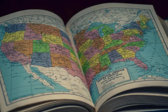
- This interactive map of the United States provides a wealth of information about a large variety of environmental and demographic characteristics that can be explored to create a customized map.
- There are seven featured maps to explore that highlight community resilience, green spaces, urban heat islands, water pollution, and more.
- The "Time Series" map option allows students to select various greenhouse gas emission scenarios to see the projected effects on temperature, precipitation, and evapotranspiration through the year 2099.
Subjects: Earth and Space Sciences, Geography
Authors: EPA
Region: United States, New Jersey
Languages: English
Teaching Materials
Positives
- The resource includes additional instructions about using the map tools, selecting different layers, and even adding your own data.
- The time series map option would be great to include in any class or discussion about the future effects of global warming and climate change on the weather in the United States.
Prerequisites
- If you are unfamiliar with GIS maps, you may want to browse through this resource and go through the step-by-step instructions provided.
- The map legend must be opened from the toolbox icon near the plus and minus (zoom in and out) in the top-left corner of the map.
- To view some of the map layers, users will need to sign in to ArcGIS.
Differentiation & Implementation
- Social studies, economics, and civics classes could use the demographic features of this map to investigate their local area and connect demographic information with other environmental data to explore environmental justice issues.
- Science and geography classes could explore a variety of topics related to water pollution, air pollution, soils, species at risk, land cover, and carbon storage.
- The watershed and rain drop options could be used in a geography or science class to either trace a stream back up through a watershed or follow a drop of rain through a watershed to the ocean.
- The EnviroAtlas Change Analysis Tool could be used in social studies and science classes to see the changes that have already happened to temperature, precipitation, and evapotranspiration since 1950.
- Other resources related to this one include this Google Earth time-lapse resource about urban heat in Tokyo, this NOAA resource about sea level trends, and this Global Forest Watch interactive global map.
This is an interactive map for students to explore key environmental indicators and domains in planning a healthy and sustainable environment and managing ecosystem services and biodiversity. The map data layers and interface are accurate, and this resource is recommended for teaching.
Teaching Tips
Standards
Resource Type and Format
Scientist Reviewed
This resource has been reviewed by SubjectToClimate's climate scientists and verified for scientific accuracy and up-to-date information. Our review process ensures that every resource in our library reflects the current state of climate science.
Learn about our review process →