
Mapping the Powerful Impact of Forests

This resource has been reviewed by SubjectToClimate's climate scientists and verified for scientific accuracy and up-to-date information. Learn about our review process →
Provided by: Wageningen University and Research|Published on: April 27, 2021
VideosScientist Reviewed
6789101112
Scientist Reviewed This resource has been reviewed by SubjectToClimate's climate scientists and verified for scientific accuracy and up-to-date information. Learn about our review process →
Synopsis
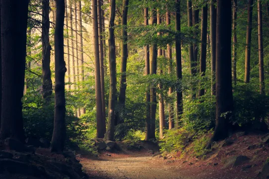
- This video from Wageningen University and Research describes an interactive map that was created to document the world's forests as carbon sinks or sources.
- In creating this visual, researchers determined that the world's forests take up and store twice as much carbon as they release, however there is regional variability based on land-use practices and other variables.
- Users can zoom in on different forests to determine if the region is a carbon source or sink and observe forest cover.
Subjects: Earth and Space Sciences
Authors: Martin Herold
Region: Global
Languages: English
Teaching Materials
Positives
- This video describes the concept of forests as carbon sources and sinks while integrating technology and collaboration to visualize an environmental problem.
Prerequisites
- Students should be familiar with the carbon cycle.
- More background information about the creation of this interactive map can be found here.
- The Global Forest Watch Interactive Map is available here.
Differentiation & Implementation
- If choosing to have students explore the carbon flux map, pairing students may be helpful to aid in the navigation of maps and to enrich discussion.
- Other similar resources include this interactive data resource and this video.
Students will use mapping skills to identify and analyze the rate of deforestation, identify blue spots, find carbon sinks, and also develop long-term plans for sustainable forest protection. The resource is valid and recommended to teach students.
Teaching Tips
Standards
Resource Type and Format
Scientist Reviewed
This resource has been reviewed by SubjectToClimate's climate scientists and verified for scientific accuracy and up-to-date information. Our review process ensures that every resource in our library reflects the current state of climate science.
Learn about our review process →