
Reforestation Hub

This resource has been reviewed by SubjectToClimate's climate scientists and verified for scientific accuracy and up-to-date information. Learn about our review process →
Provided by: The Nature Conservancy|Published on: June 27, 2022
Data, Graphs, and MapsScientist Reviewed
9101112
Scientist Reviewed This resource has been reviewed by SubjectToClimate's climate scientists and verified for scientific accuracy and up-to-date information. Learn about our review process →
Synopsis
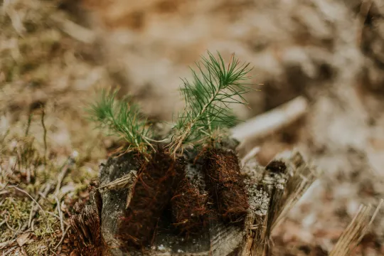
- This interactive map of the United States, divided by county, shows how much carbon could be captured if the maximum number of trees were planted in each area.
- A data table provides information about reforestation at the national and state level.
Subjects: Biology, Earth and Space Sciences
Authors: The Nature Conservancy
Region: North America, United States
Languages: English
Teaching Materials
Positives
- The FAQ section provides detailed explanations and information about the map.
- The data used to create the map is publicly available on the website.
- There are links throughout the About page to additional research and sources.
Additional Prerequisites
- Students should be comfortable reading and interpreting data.
- Students should be familiar with reforestation and carbon storage.
Differentiation
- Biology classes could use this map as a template to create a reforestation plan in a specific county, and quantify the amount of carbon that could be captured.
- This map could also be used as a tool to discuss reforestation and carbon capture.
- Some related resources are this video about kelp carbon capture, this video on how green space can boost your health, and this lesson plan about the carbon cycle.
The resource displays reforestation opportunities, ecosystem services, and options for climate mitigation. The 30m resolution used is appropriate to map these services accurately. This is recommended for teaching.
Teaching Tips
Standards
Resource Type and Format
About the Partner Provider

The Nature Conservancy
The Nature Conservancy is a global environmental nonprofit working to create a world where people and nature can thrive. The Nature Conservancy has grown to become one of the most effective and wide-reaching environmental organizations in the world.
Scientist Reviewed
This resource has been reviewed by SubjectToClimate's climate scientists and verified for scientific accuracy and up-to-date information. Our review process ensures that every resource in our library reflects the current state of climate science.
Learn about our review process →