
Share of Primary Energy from Wind

This resource has been reviewed by SubjectToClimate's climate scientists and verified for scientific accuracy and up-to-date information. Learn about our review process →
Provided by: Our World in Data|Published on: July 20, 2021
Data, Graphs, and MapsScientist Reviewed
6789101112
Scientist Reviewed This resource has been reviewed by SubjectToClimate's climate scientists and verified for scientific accuracy and up-to-date information. Learn about our review process →
Synopsis
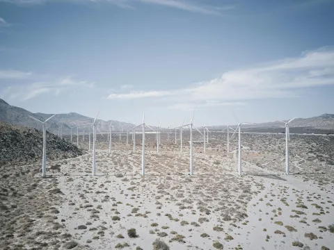
- This resource includes an interactive map and graphs that show the share of primary energy from wind for countries around the world.
- Primary energy is calculated using the "substitution method" which accounts for the inefficiencies in energy production from fossil fuels.
- The dataset begins in 1965.
Subjects: Science, Geography, Mathematics
Authors: Hannah Ritchie, Max Roser
Region: Global
Languages: English
Teaching Materials
Positives
- The interactive provides three different ways for students to explore data (chart, map, table).
- Students may choose to view datasets for various geographic locations and time periods.
- Related research and data are linked.
- The site explains how the data was collected.
Prerequisites
- There are multiple layers of data to explore and navigate. Teachers should familiarize themselves with the various capabilities of the interactive.
- Students may need to be provided with clear instructions as to which dataset they should explore and interact with.
Differentiation & Implementation
- This interactive can be used in a geography class as students explore energy use in different geographic regions. They can also infer possible causes of high or low wind energy use over time and in different parts of the world through a variety of lenses such as science and economics.
- This interactive also lends itself to exploring ratios and percentages, so it can be used during math lessons.
The resource visualizes relative share of energy production from wind source in different countries. OWID has not yet collected wind source data in some African countries where wind farms are built to produce energy. However, datasets have been properly standardized and this resource are suitable for teaching.
Teaching Tips
Standards
Resource Type and Format
Scientist Reviewed
This resource has been reviewed by SubjectToClimate's climate scientists and verified for scientific accuracy and up-to-date information. Our review process ensures that every resource in our library reflects the current state of climate science.
Learn about our review process →