
Trends in Atmospheric Carbon Dioxide

This resource has been reviewed by SubjectToClimate's climate scientists and verified for scientific accuracy and up-to-date information. Learn about our review process →
Provided by: NOAA|Published on: April 27, 2021
Data, Graphs, and MapsScientist Reviewed
6789101112
Scientist Reviewed This resource has been reviewed by SubjectToClimate's climate scientists and verified for scientific accuracy and up-to-date information. Learn about our review process →
Synopsis
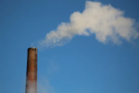
- This site allows users to interact with graphs and data sets to see how the level of atmospheric carbon dioxide has changed over the last 60 years.
- Students will be able to see CO2 emission data from Mauna Loa and global measuring sites for various time ranges.
- The resource also includes an animation that shows how atmospheric CO2 levels have changed over time, including data gathered from prehistoric ice core samples, and an animated map showing changes in CO2 emissions from human activity over time.
Subjects: Earth and Space Sciences
Authors: NOAA
Region: Global
Languages: English
Teaching Materials
Positives
- The resource has great visuals like graphs, animations, and maps.
- This is a great way to show how extreme our current CO2 levels are compared to past averages.
Additional Prerequisites
- Students may need additional background information about carbon dioxide, its relation to climate change, and associated research practices like ice coring.
- Teachers may need to help students understand the CO2 animation. The chart on the left side of the video shows CO2 levels at different latitudes of the Earth over time, and the chart on the right shows the corresponding average global CO2 over time. Towards the end of the video, only the global average is shown, and the time scale of the CO2 measurements extends to hundreds of millions of years in the past.
Differentiation
- Students can work individually or in small groups to create a list of noticings and wonderings about this data.
- There is a link to additional information that answers the question "Can we see a change in CO2 records because of COVID-19?" This would be a great extension for advanced students or a topic to discuss as a class.
Datasets have good quality. There is no contradiction in the resource. This resource is recommended.
Teaching Tips
Standards
Resource Type and Format
Scientist Reviewed
This resource has been reviewed by SubjectToClimate's climate scientists and verified for scientific accuracy and up-to-date information. Our review process ensures that every resource in our library reflects the current state of climate science.
Learn about our review process →